
Globally minded approach to FYS Course connects students studying remotely
First-year Seminar (FYS) courses at The College of Wooster build students’ writing and critical thinking skills in their first semester at College. Composed of a small group of students with a faculty member who also serves as an academic advisor, students engage in a range of issues that encourage them to ask questions and draw conclusions. As she thought about her FYS class of 15 students for this fall—eight on campus and seven participating remotely from as far away as South Korea—Shelley Judge, associate professor of Earth Sciences, wanted to ensure her students stayed connected to the learning experience.
“I wanted to enable student achievement and inclusion at a time when positivity was imperative,” said Judge. “Throughout the pandemic, students lost loved ones, struggled with isolation, and faced educational and personal disruptions. My FYS needed to be a safe place where all students could achieve—and all students felt included—no matter where they were on Earth.”
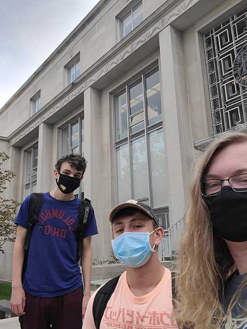
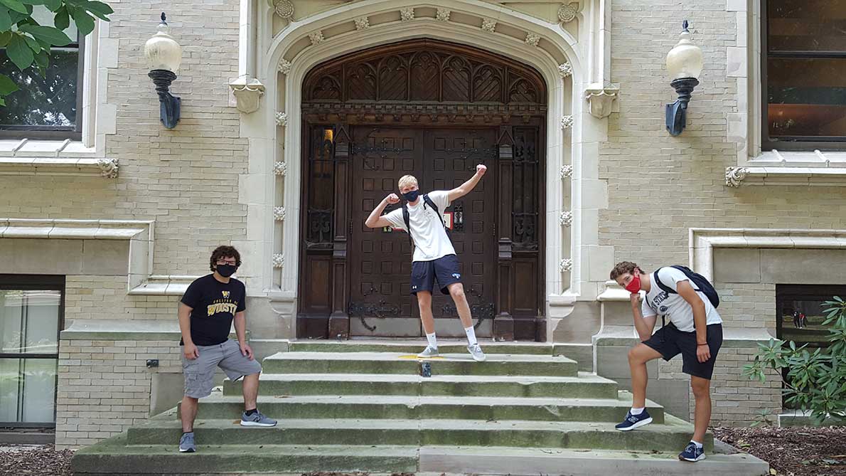
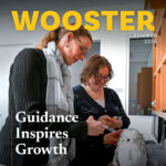
The student teams took pictures of themselves at various campus locations during the treasure hunt.
Over the summer, Judge collaborated with course design assistant and now teaching apprentice for the class Will Santella ’21 to develop a class that would engage students in learning at Wooster regardless of their location. They focused on maps, particularly modern mapping techniques and digital geographic information systems (GIS) platforms including Google Earth, an internet-based mapping software that works like a three-dimensional, virtual globe using satellite and aerial imagery, and ArcGIS Online, a mapping software that uses two-dimensional maps. First asking students to introduce themselves by plotting a course through their hometown, “they learned to add text, images, and videos to locations meaningful to them and fly the reader through a series of placemarks in Google Earth that told the story they wanted to tell,” said Judge, explaining that the idea of maps “became the catalyst for a pedagogical discovery for [her] and an unexpected spark for student achievement during the pandemic.” Santella, a geology major sees the students in the class “learning how to think critically about the combination of data from all kinds of academic fields, and more importantly, how to present that information in a clear, but detailed way. This is perhaps the greatest obstacle of academic work,” he added, “and these students will finish our class with the tools to tackle this issue easily.”
Early in the semester, teams of students composed of three students living on campus and two remote students explored Wooster’s campus together in a treasure hunt calling on them to solve riddles that Santella created over the summer including “Fill it with snow, and through it you’ll march, your next location is the…” and “For papers, paragraphs, and citing, at this location get help with your writing,” while capturing latitude and longitude data. “I enjoyed it because I discovered new important places at The College of Wooster, and I also enjoyed working with my teammates,” said Mariia Tkach ’24, participating in the class remotely from her home in the Ukraine. “It helped me to improve my communicative and social skills since each of us was responsible for a role.”
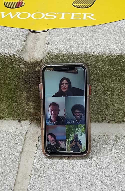
Students studying remotely this semester teamed up with members of the class studying on campus for a campus treasure hunt.
Judge acknowledged that learning to map the data is only one of the lessons students are learning from the experience. “The best thing is that students from all over the globe and a bunch of different time zones collaborated together, learned about each other, and enjoyed Wooster at the same time,” she said. In addition to the treasure hunt, remote and on-campus students partnered to map and analyze data. They also mapped The War for Kindness: Building Empathy in a Fractured World, the summer reading book for first-year students this year, using it as “a way to think and to write about dualism, contrasting views, and many issues plaguing society today.” As with every FYS course, students also developed their writing skills, including reflecting on each project and a large independent research project. “I have watched all my students navigate my course successfully, gaining confidence not only in technological skills, but also in their reflection, critiquing, and writing on imagery,” said Judge. “The use of Web GIS created teaching and learning spaces in the cloud that enhanced equity by leveling the academic playing field. Among the evils of the pandemic is its amplification of inequalities (home/residential internet services, computer capabilities, and study spaces). Essentially, GIS became a common language for us.”
Posted in Faculty, News on October 21, 2020.
Related Posts
Related Areas of Study
Earth Sciences
Geology, environmental geoscience, geophysics, and other classes that explore Earth and the impact of humans
Major Minor